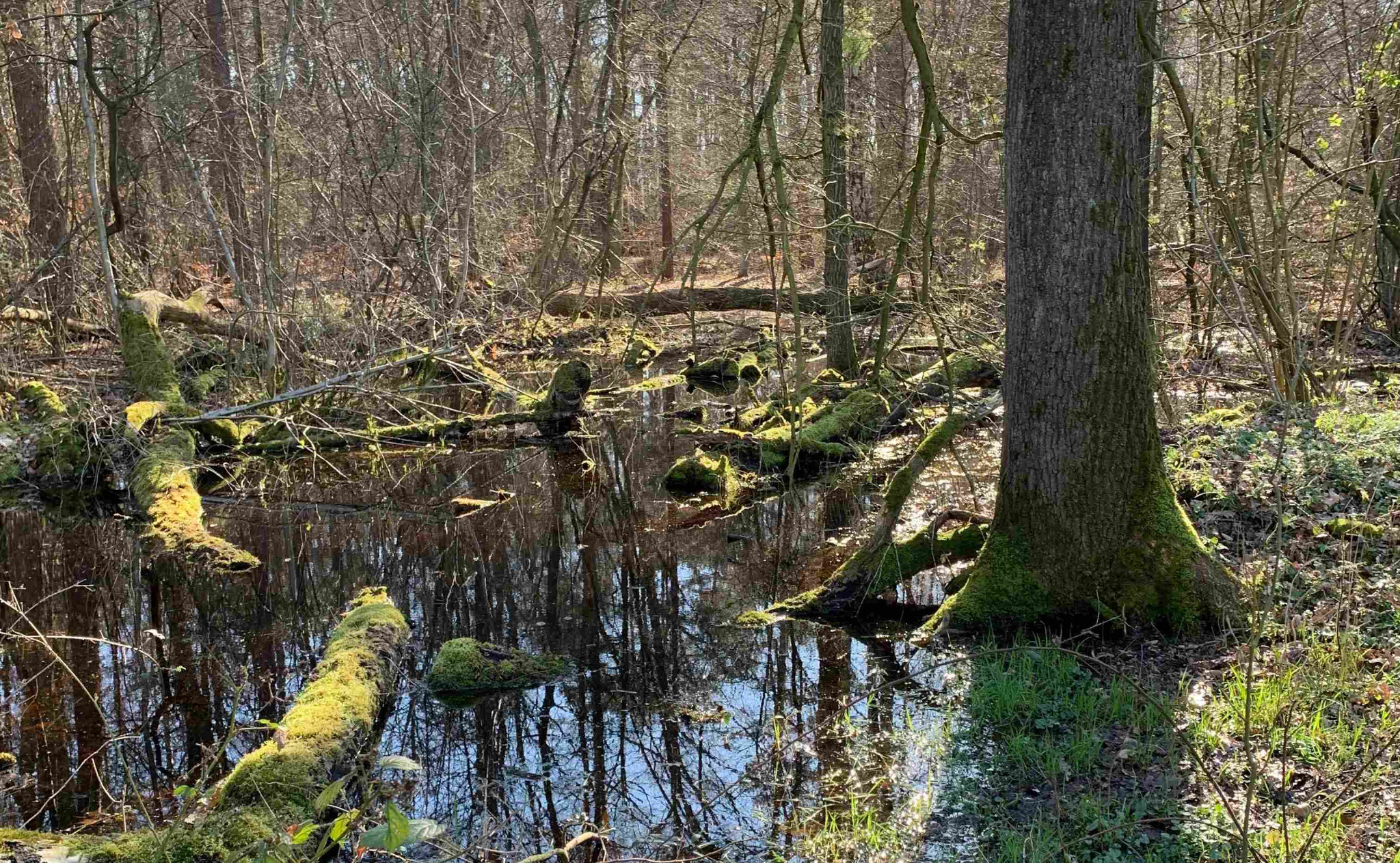
In Lower Saxony, biotope mapping is carried out on the basis of the mapping key for biotope types published by the nature conservation authority. The mapping key is geared towards area-wide and selective biotope mapping in Lower Saxony at scales of 1:5,000 and 1:10,000, but can also serve as a basis for surveys at smaller or larger scales.

In 1996, a comprehensive Red List of endangered biotope types in Lower Saxony was published for the first time, based on the typification of the mapping key.
Since the publication of the first edition in 1992, the mapping key has become established in practice and forms the basis for almost all biotope mapping in Lower Saxony as well as assessment procedures based on it within the framework of intervention regulation and landscape planning.
In the present 11th edition (as of February 2020), a large number of minor changes and corrections compared to the previous version (as of July 2016) have again been taken into account. In addition, the inclusion of "caves and near-natural galleries" as legally protected biotopes according to § 30 BNatSchG as well as new findings from the mapping in the Wadden Sea National Park have been taken into account.
You can order the mapping key in the WebShop of the NLWKN or
- Latitude: 0
- Longitude: 0


